
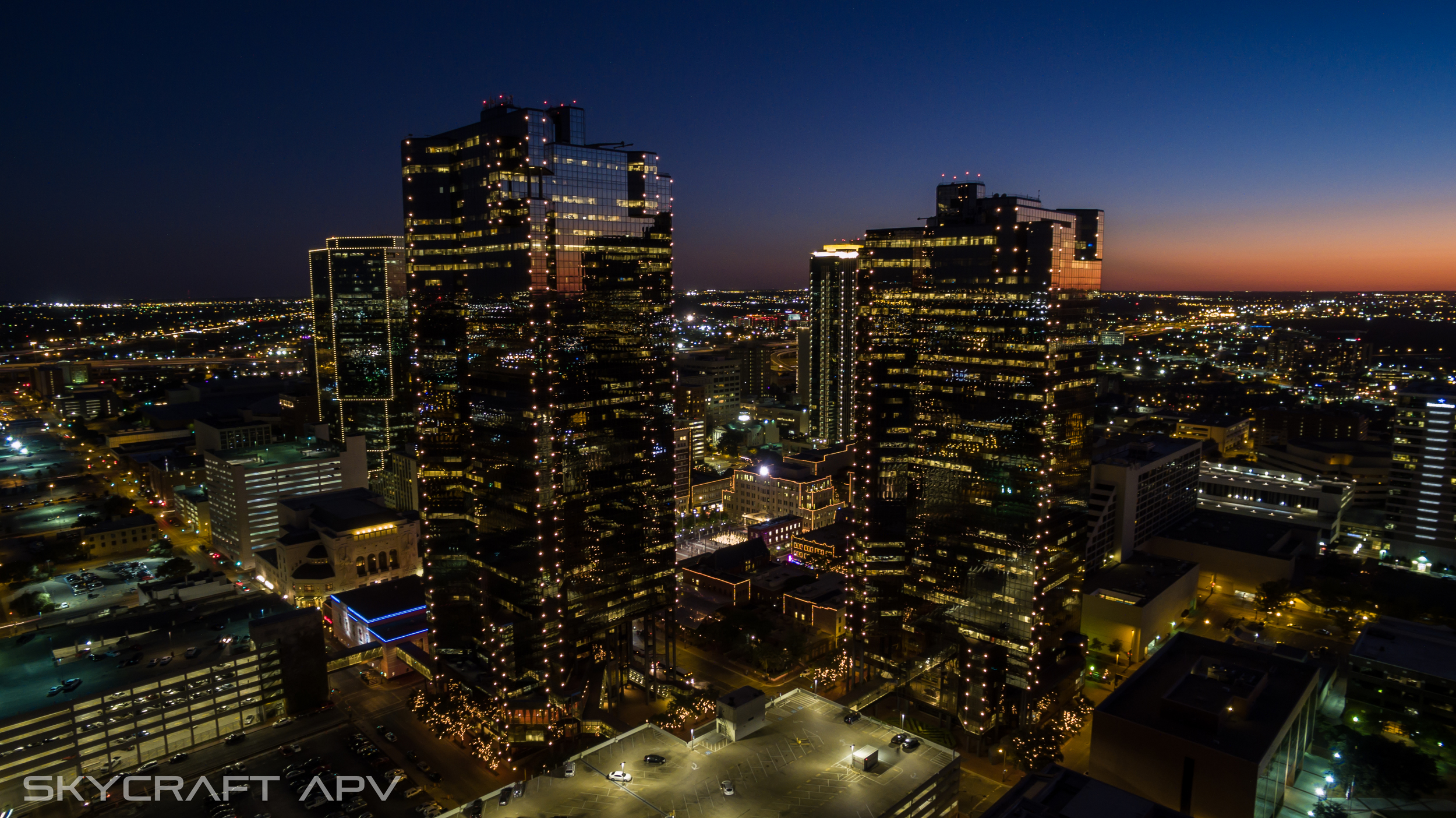
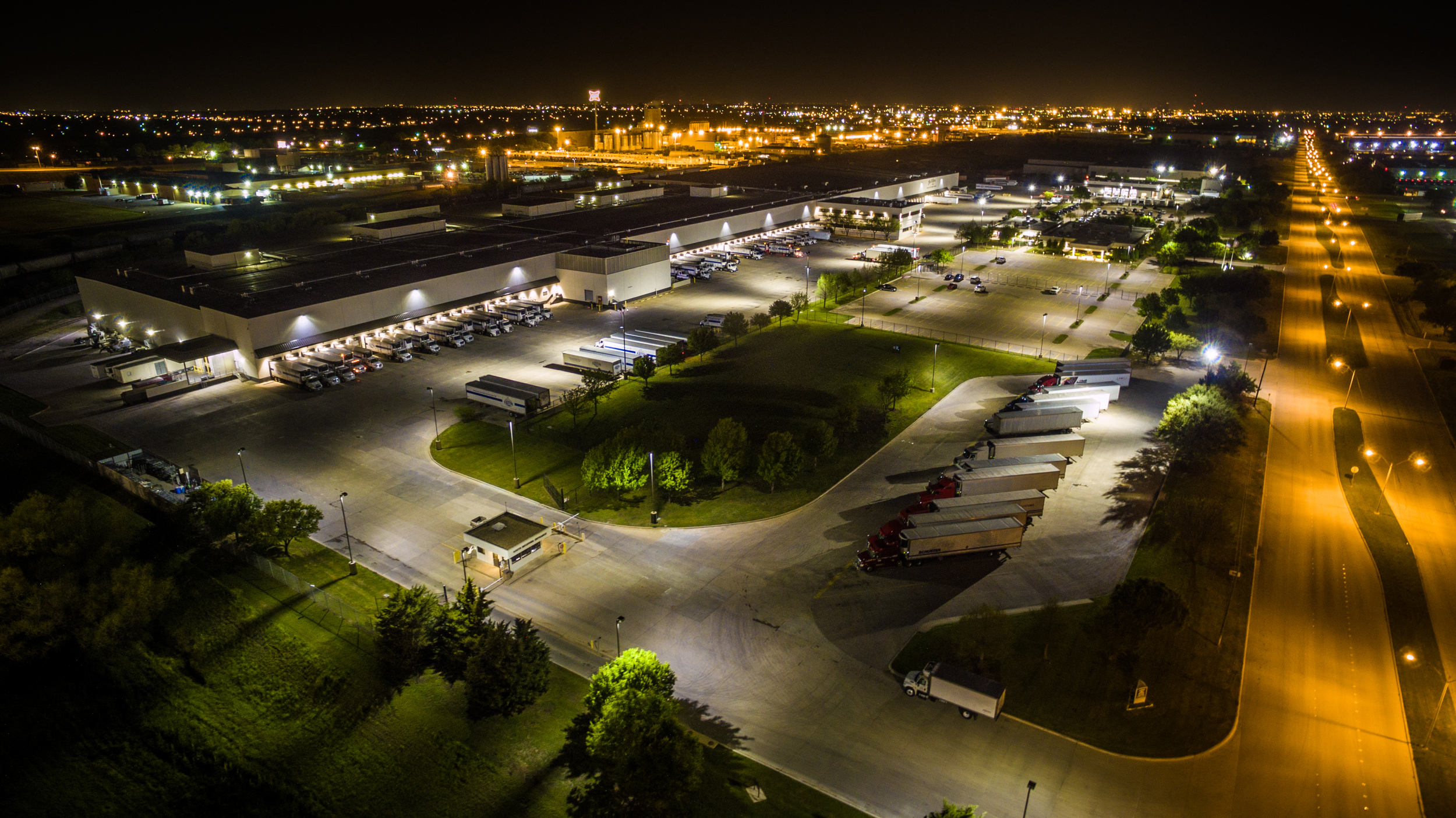
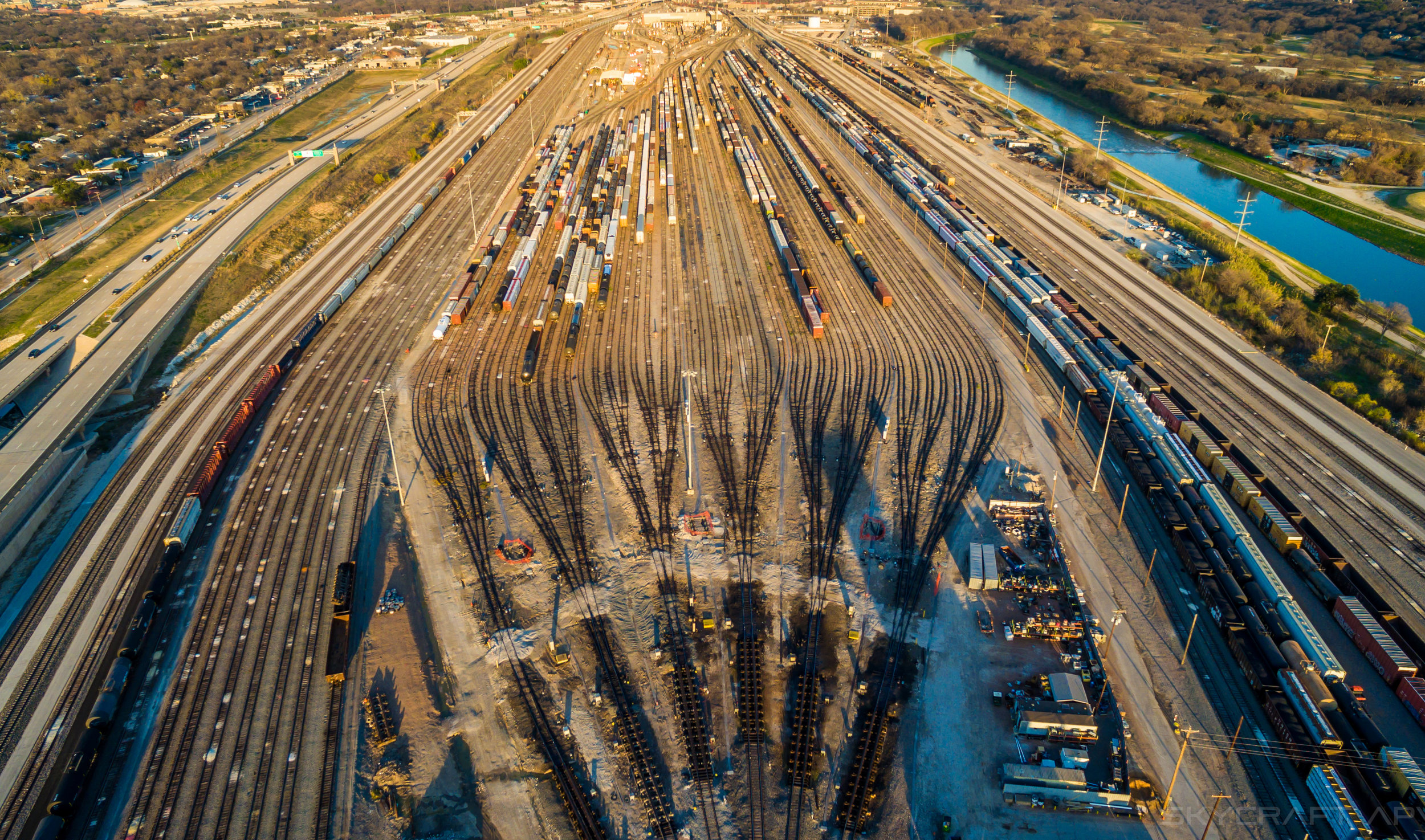
Aerial Cinematography
Close-Proximity Filming is one of our specialties. With our compact aircraft and cutting-edge camera-stabilization systems, we can get shots that rival, and surpass even the most advanced traditional camera rigs. Imagine a dolly, stedicam, crane and helicopter shot all in one seamless, efficient camera set-up.


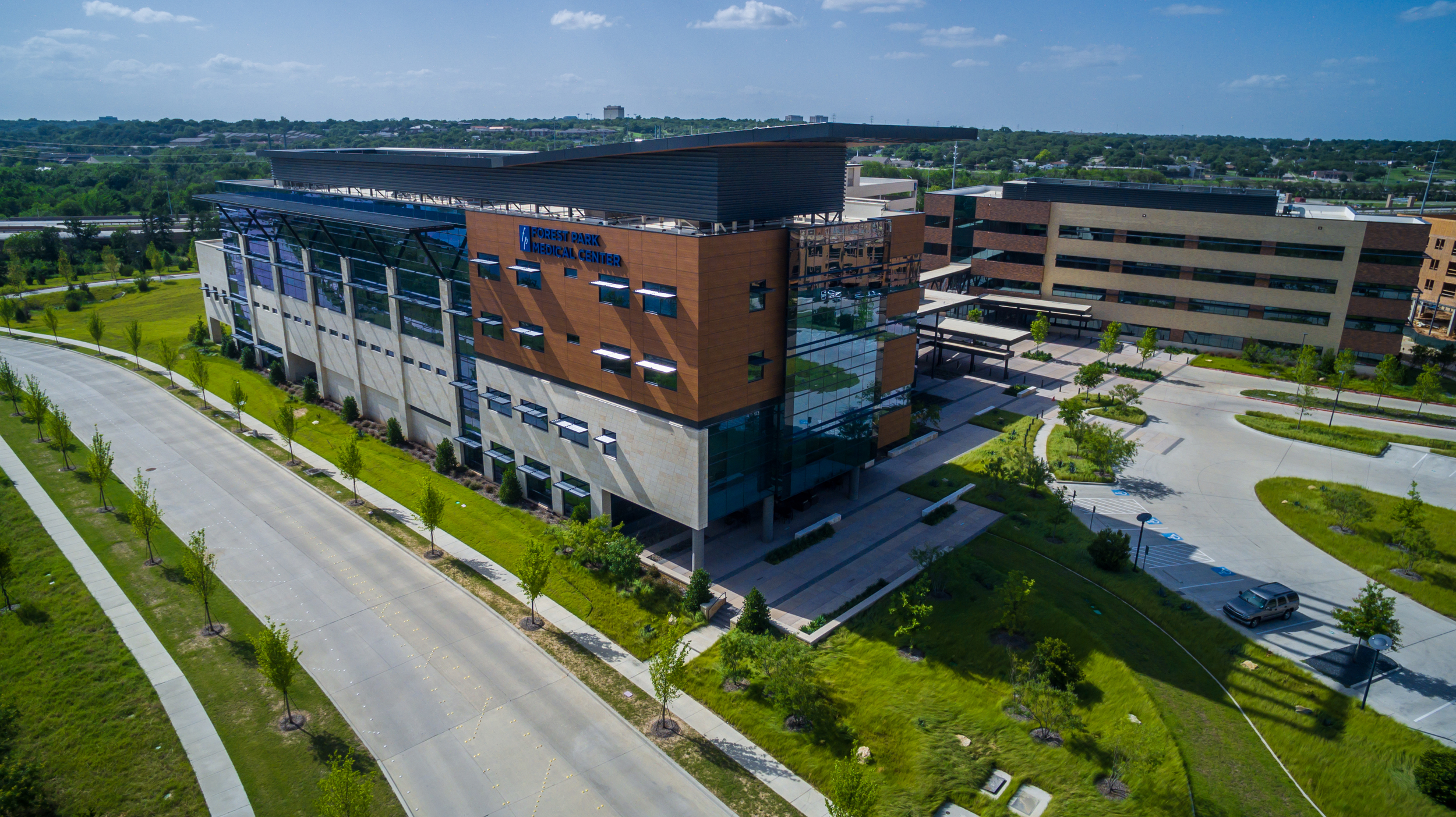


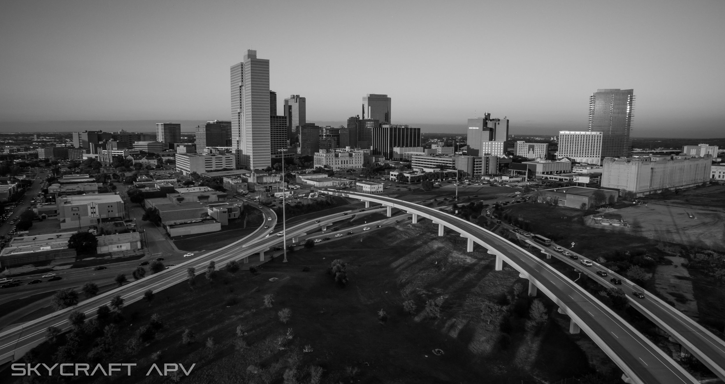

Aerial Photography
Aerial images are a fantastic way to promote a sale of a special property or as a marketing tool for your hotel, restaurant or venue. Sell the surrounding area and generate more business.
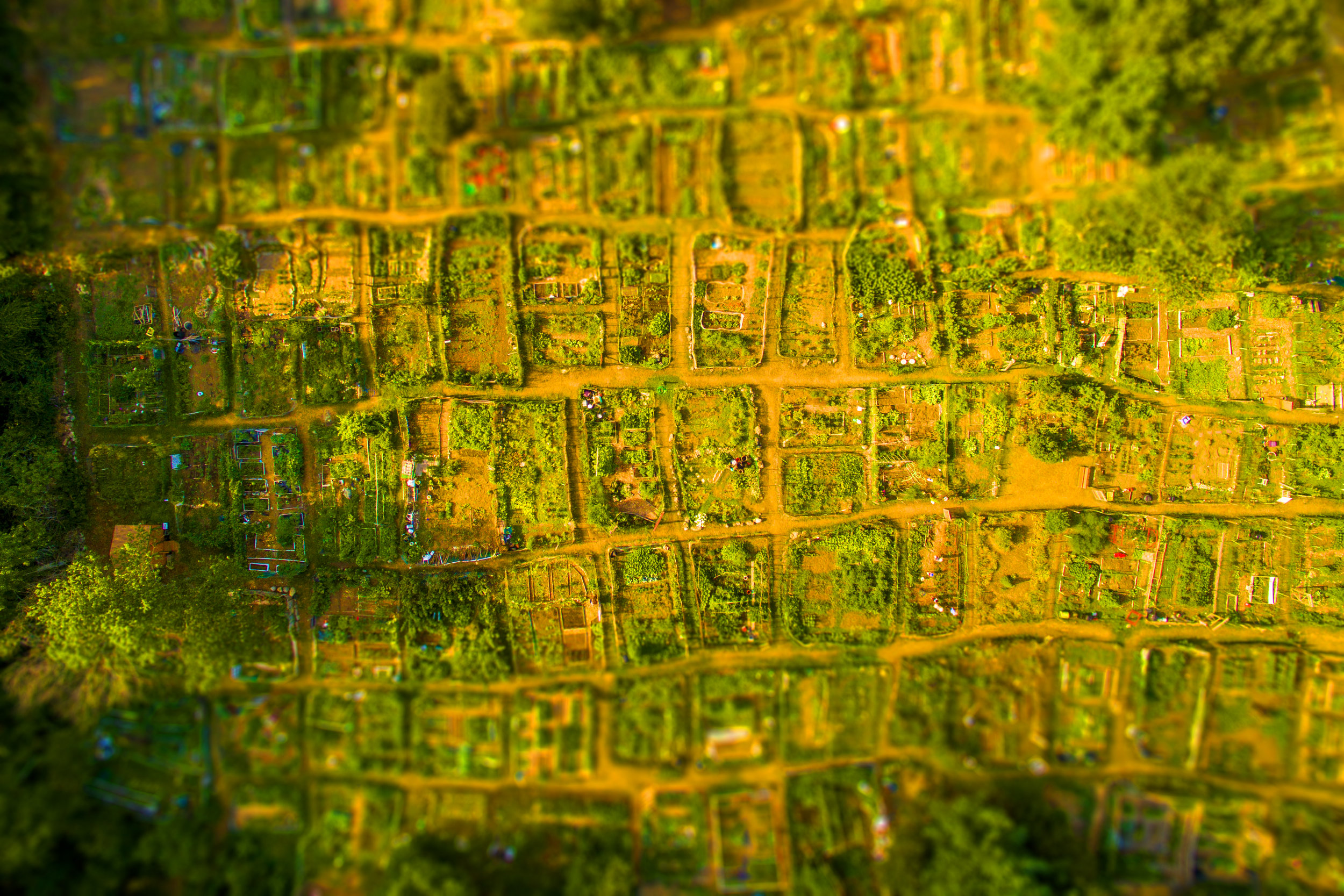
Aerial 3D modeling and mapping
Skycraft apv produces highly-precise orthomosaics, DSMs, DTMs and 3D models in an affordable and efficient way.

CONSTRUCTION -
4D construction site monitoring on a weekly or even daily basis. We create survey-grade orthomosaics, DSMs and dense 3D point clouds. Repeat the process in fixed time intervals and analyze results over time to monitor contractors and construction advancements. Go one step further: measure points, lines, surfaces and volumes directly in the software and annotate vector objects to seamlessly import them into your existing CAD or GIS software package.
PRECISION AGRICULTURE -
Precision agriculture calls for continuous land management at a competitive cost, all the while caring about environmental protection. This new technology of generating up-to-date information allows for continuous monitoring and well-structured decision making for any type of plant.
NATURAL RESOURCES MANAGEMENT -
Skycraft offers you an efficient and affordable way to map and model natural areas, parks, reserves and nature conservation areas so that you can focus more time on the analysis of environmental data. This enable you to create extensive inventories of natural resources, verify the enforcement of environmental regulations, and assess the vigor of vegetation with vegetation indices to name only some examples. Output results such as orthomosaics, DSMs, DTMs, contour lines etc. will integrate seamlessly into your existing GIS software
EMERGENCY RESPONSE -
Effective emergency response needs fast and accurate on-site cartographic production. In addition to on-site emergency operations, our technology allows you to monitor sensitive sites throughout the year for prevention purposes with the production of timely mosaics, DSMs, DTMs, contour lines and more.
MINES & QUARRIES -
Our UAV technology makes the management of extraction activities and environmental protection issues easy-to-handle, available on demand, and cost-effective, without exposing workers to dangerous conditions. Traditional surveying technology is labor, skill and cost-intensive, while Skycraft apv imagery increases safety, efficiency and accuracy while keeping cost and labor to a minimum. We produce orthomosaics, DSMs, DTMs and point clouds of pits and quarries to calculate volumes of extracted materials, volumes of stockpiles and monitor hot-spots or interesting site areas, etc.
This new and effective process of generating up-to-date information allows for continuous monitoring and well-structured decision making for any area of a mining site. Results are traceable over time in order to comply with environmental standards.
